Reality Capture
Accurate Data. Real Conditions.
We use advanced reality capture methods to record existing environments with precision and clarity.
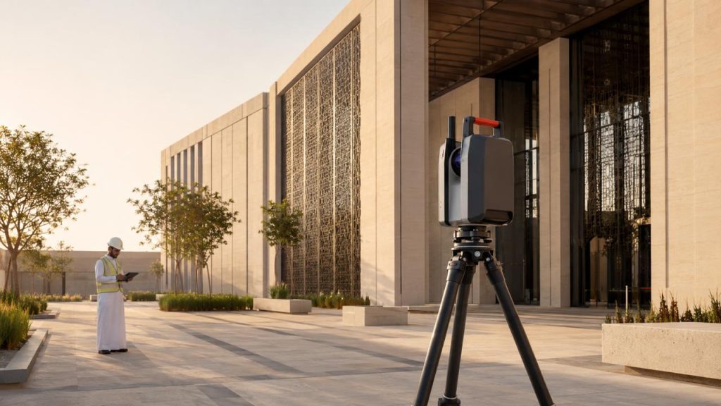
Terrestrial Laser Scanning
We provide terrestrial laser scanning services to capture highly accurate 3D measurements of buildings, structures, and existing site conditions. This method records detailed spatial data that can be used for documentation, modeling, and analysis.
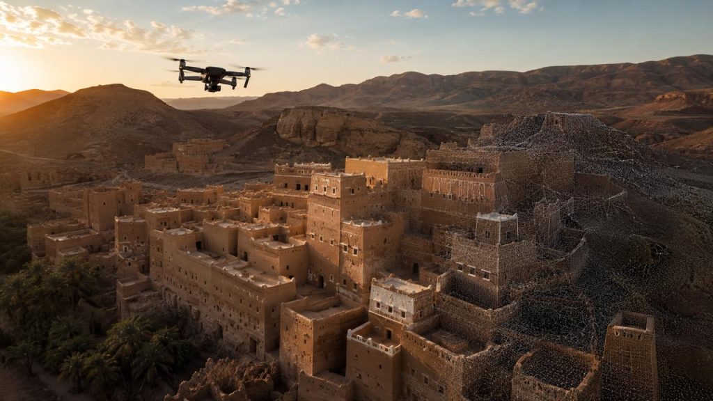
Drone Photogrammetry
Our drone photogrammetry service uses aerial imagery to create accurate 3D models, orthophotos, and site measurements. It is well suited for large areas, roofs, façades, and locations that are difficult to access from the ground.
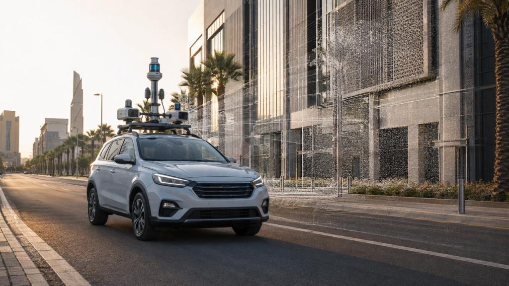
Mobile Mapping
We offer mobile mapping services to collect spatial data efficiently while moving through a site or roadway. This approach combines sensors and imaging systems to produce detailed mapping, 3D data, and survey information across extended areas.
design services
We offer design services that bring clarity, creativity, and precision to every project, from concept to execution.
Visualization
We create immersive visual tools through VR, AR, and interactive models to communicate ideas with clarity and impact.
Services We Offer

Geospatial Services
We deliver GIS, GNSS, and topographic survey services that support accurate planning, analysis, and project delivery.

Historical Documentation
Accurate documentation of heritage and historical buildings using advanced technologies.
Reality Capture
3D laser scanning, photogrammetry and surveying for precise, reliable data capture.

BIM/HBIM
Building Information Modeling for new projects and Heritage BIM for conservation.
BIM Implementation
BIM strategy, standards, and workflows to improve collaboration and project outcomes.
Construction Supervision
Professional site supervision ensuring quality, compliance. and timely delivery.
Marine & Underwater Heritage
Documentation and study of marine and underwater cultural heritage sites.