Architecture, Heritage & Digital Innovation
Integrated architectural and digital solutions for heritage, buildings, and future-ready projects.
Integrated architectural and digital solutions for heritage, buildings, and future-ready projects.
Buildings Scanned
Projects Completed
Years of Working
Cient Satisfaction

Transforming heritage sites into intelligent digital models for documentation, conservation, management, and future research.
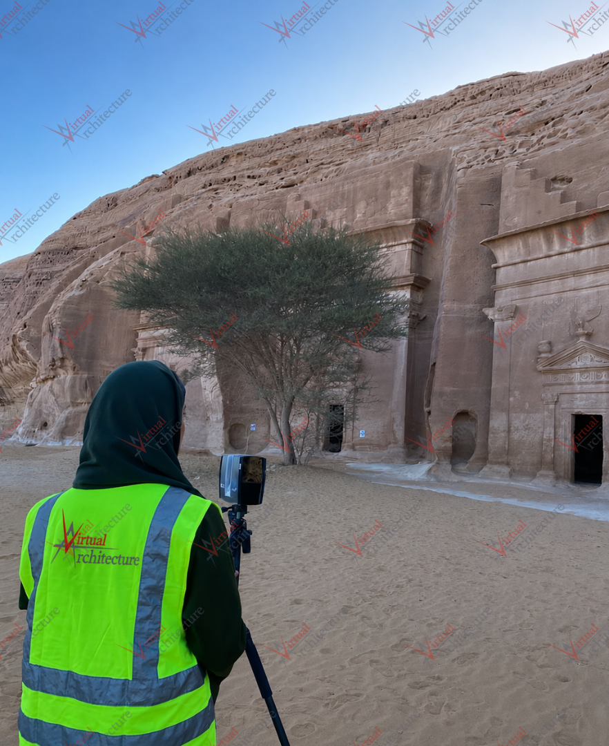
High-accuracy reality capture for existing buildings, heritage sites, infrastructure, and complex environments.
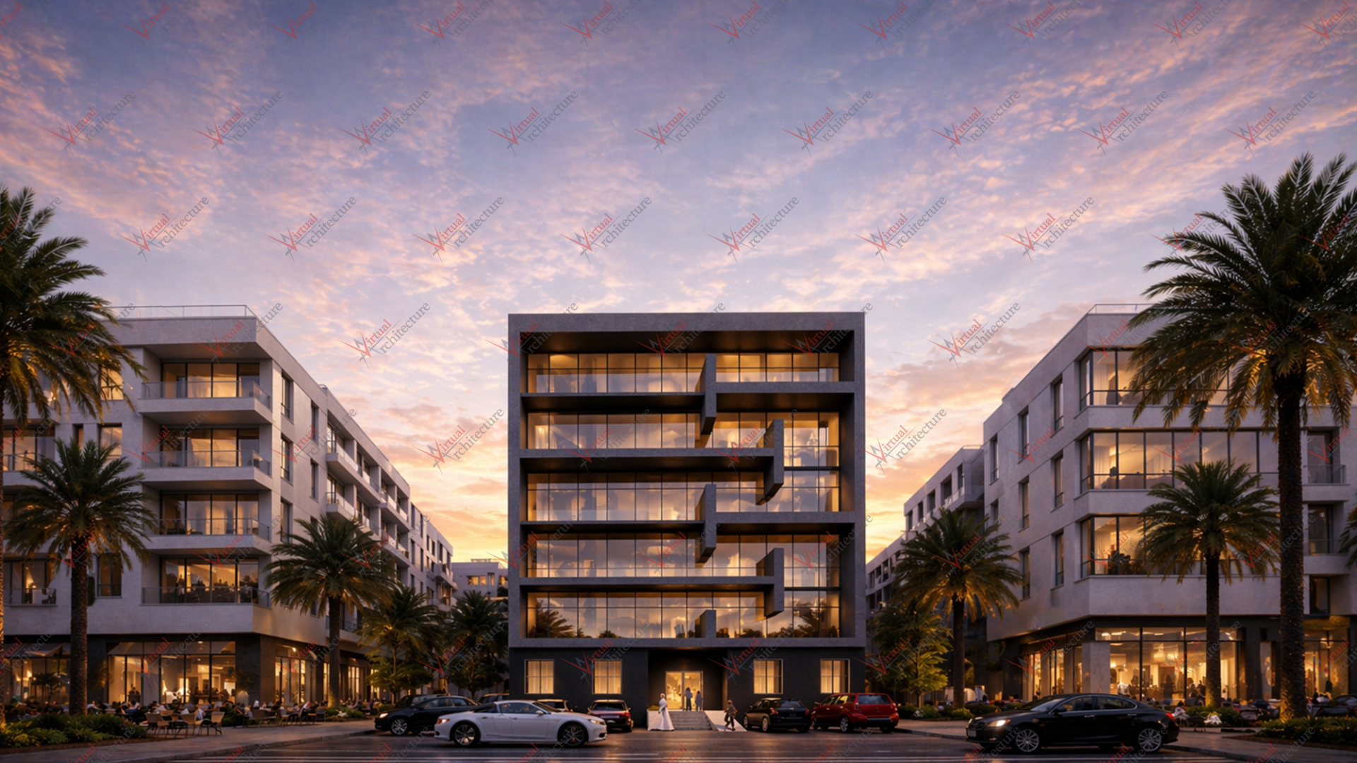
Thoughtful architectural solutions that balance function, identity, context, and contemporary design.